*Formerly the Copco Honey Badger.
Update to the Klamath River Route. Due to the removal of the Copco and Iron Gate dams, the route completely around the lake is closed the public. There are lots of heavy equipment operating and the roads are gated and manned to keep people out. You are still able to go out and back on the North side of the river, but the return back to the old Irongate Dam on the South side closed. You’ll need to turn around somehwere before the 30 mile mark on the course. There are motion activated cameras that will alert security and they will call the Sheriff if they catch you trying to sneak through. The latest information is that the road around the lakes that the route uses will be closed for the entirety of 2025.
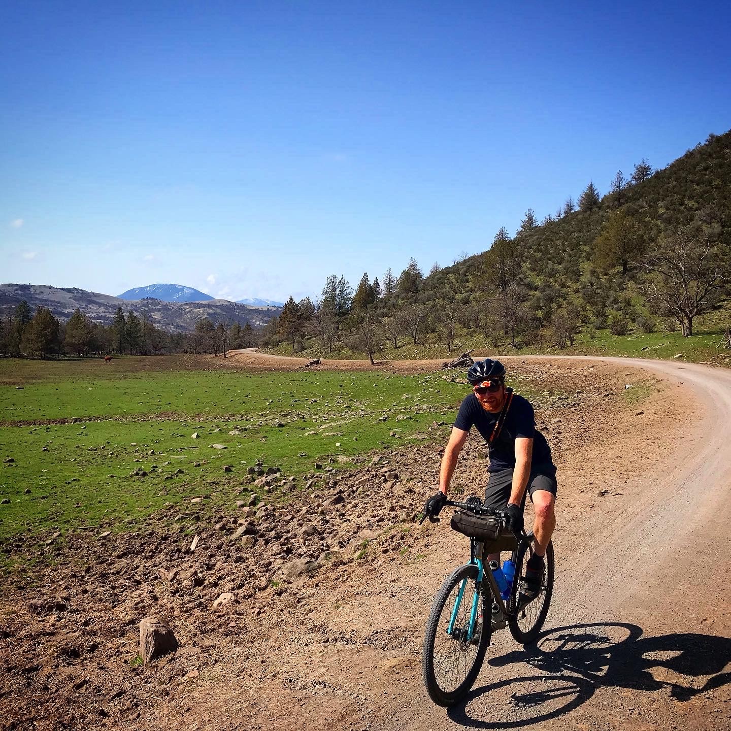
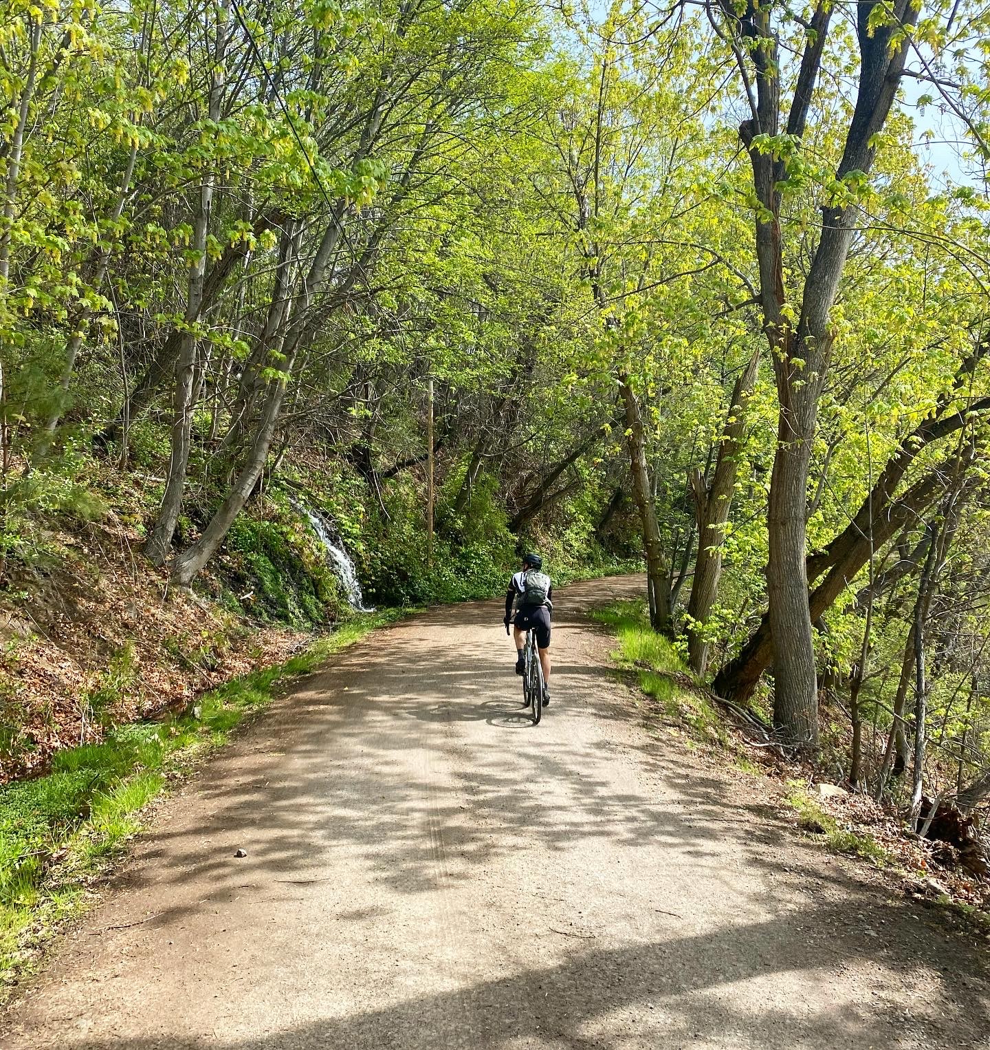
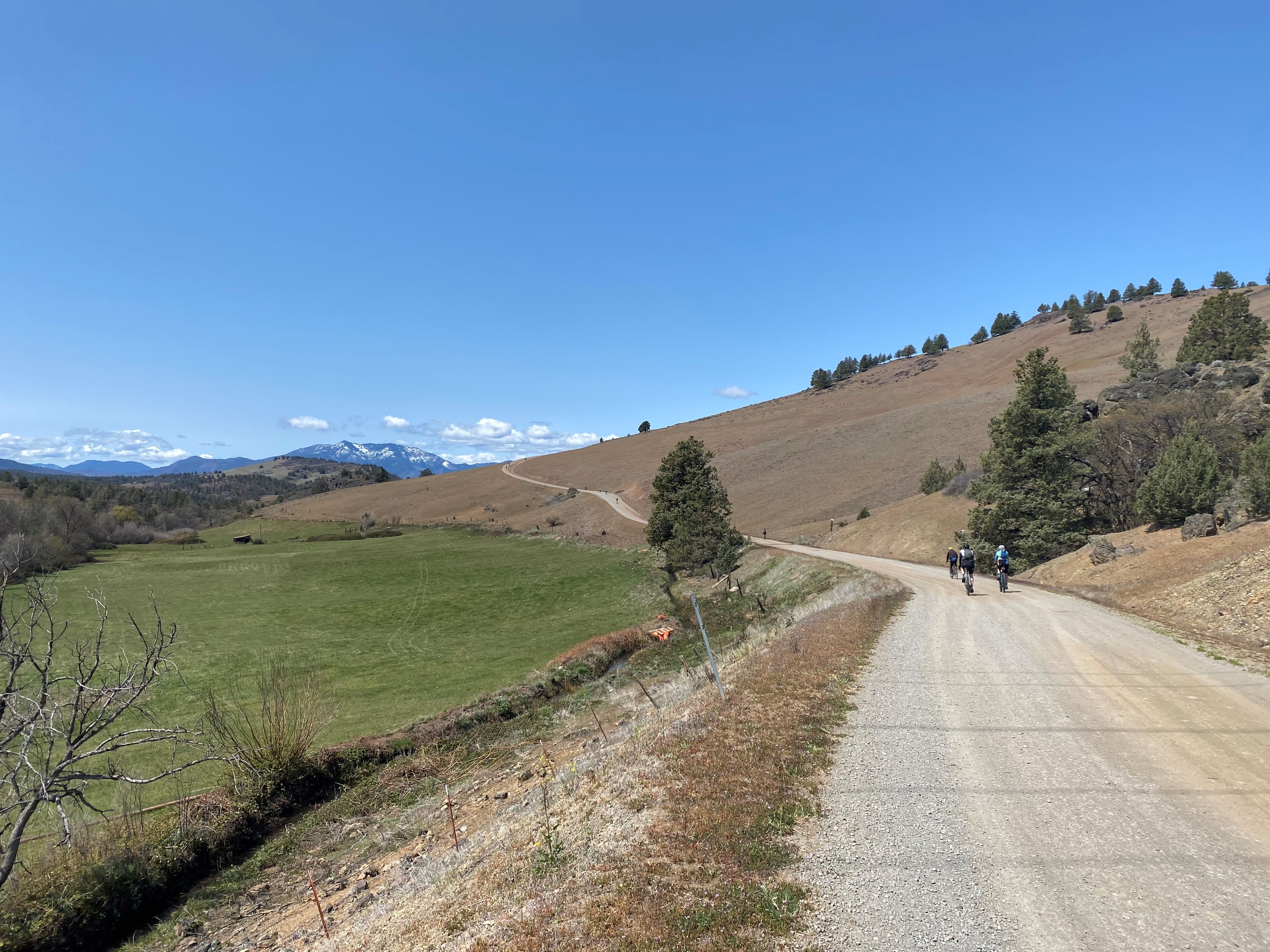
Another beautiful Northern California ride through the foothills next to the Upper Klamath River where the former Iron Gate and Copco dams and reservoirs. Starting and finishing at the base of the Iron Gate 1 Dam, just over the California border from the Rogue Valley, this is one of our early season staples. When the high country is still covered by snow and the woods are wet, this ride is usually temperate and dry. The route has a true mix of terrain and is best ridden on at least 32c tires. There’s not much need for tread due to the smoother gravel and fair amount of pavement. Fair warning, some of the gravel can be smoother than the “vintage” asphalt of Siskiyou county. This ride has a bit more climbing than the Weed Honey Badger so even though it’s a bit shorter, it’s still plenty of a workout. If you’re looking to gain some early season miles, then parking at the elementary school in Hornbrook will tack on another 17 miles of chunky pavement along the Klamath river.
Ride With GPS Link
Klamath River (Formerly Copco) Honey Badger
Distance
31.9 Miles
Elevation
2850ft.