On the east side of a little set of mountains between I5 , Hwy 97, and the Klamath river is Juanita Lake. It overlooks south end of the Klamath basin, just up the hill from Dorris. As the crow flies, it’ s not very far from anywhere, but due to it’s location, it can take a little while to get to, but the reward is worth the effort.
The ride starts and finishes at Juanita Lake, which is a lovely place to jump in to after the ride and wash the dust off. The day use area is free to park in, which is nice.
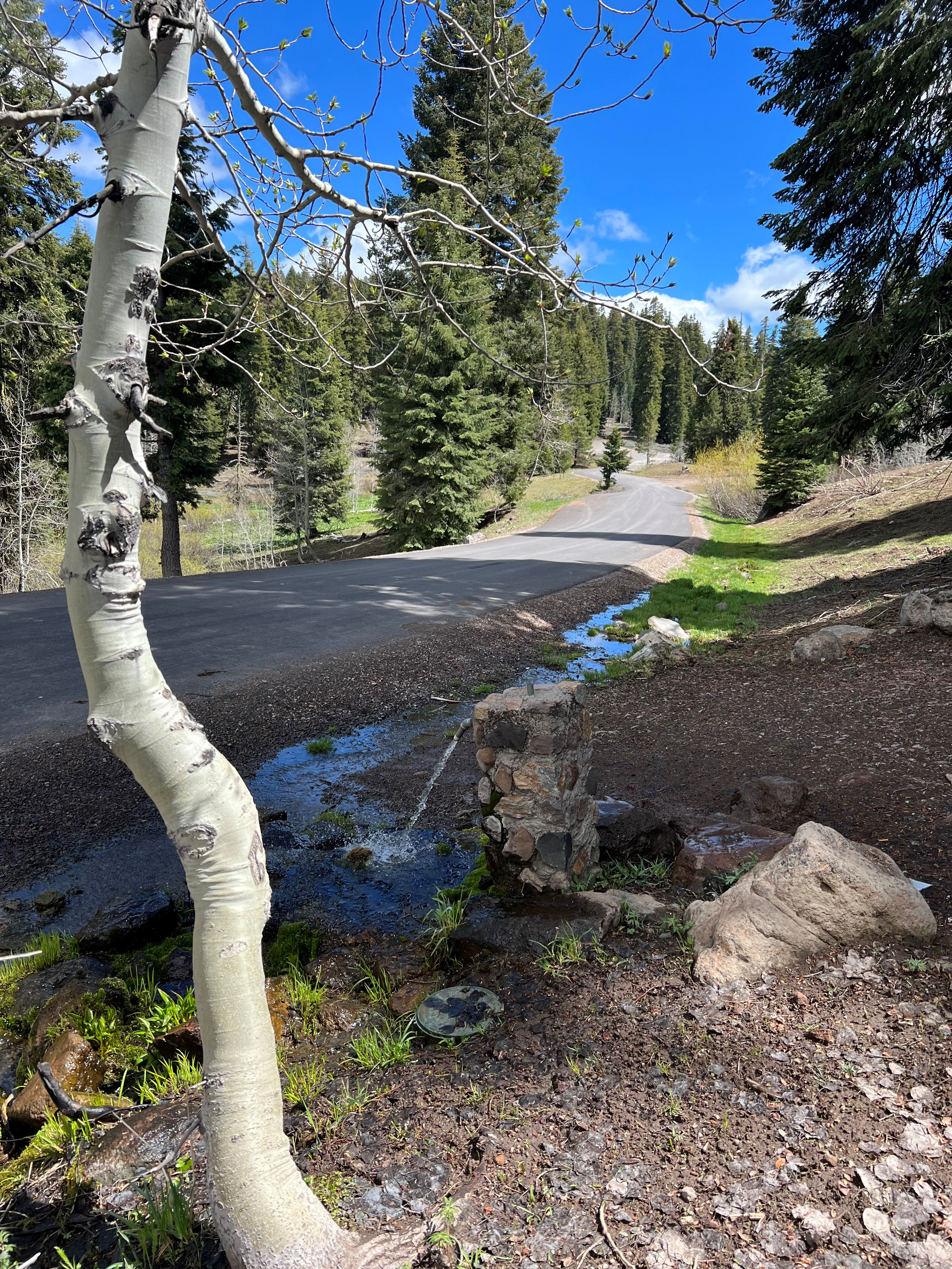
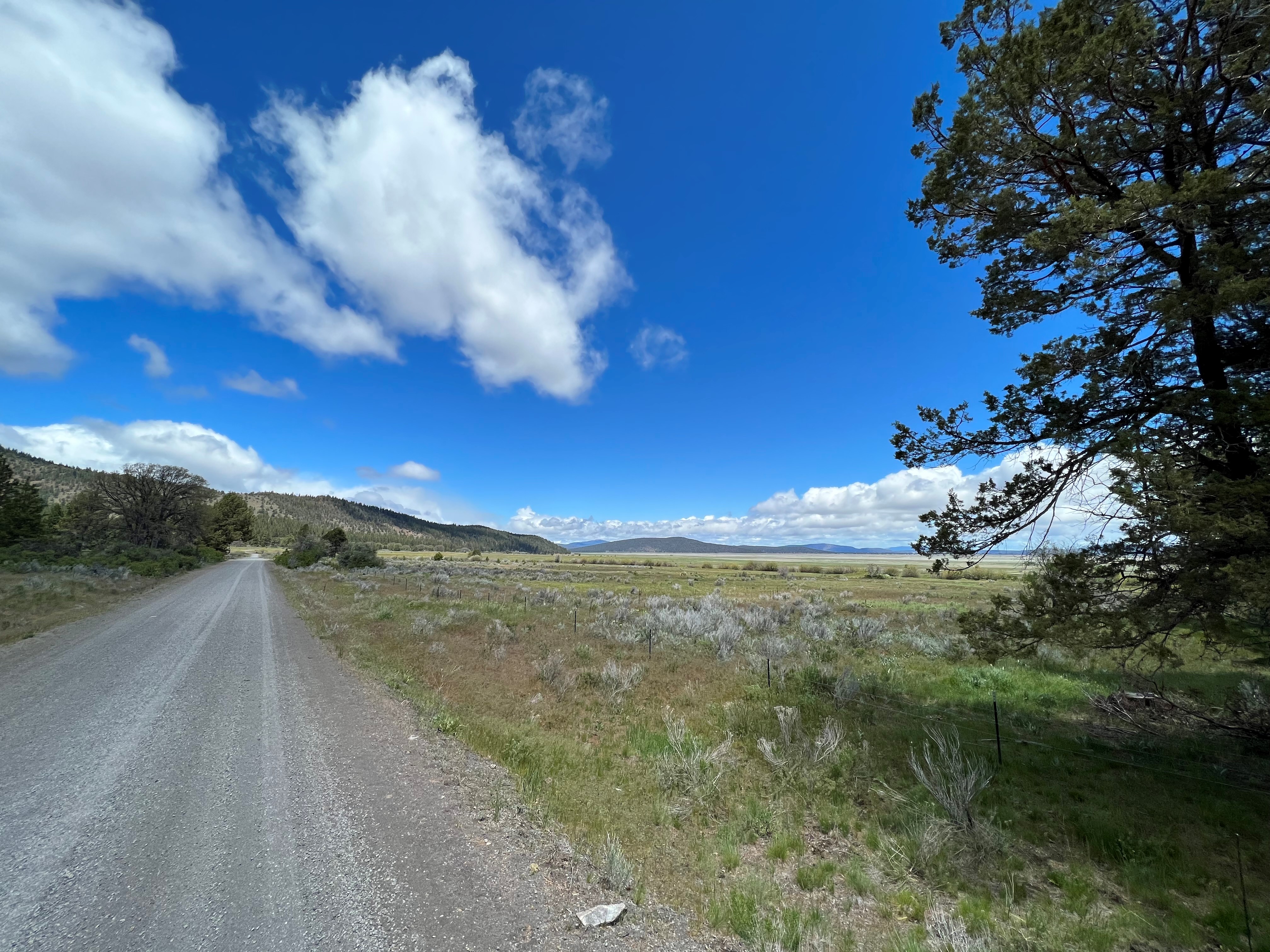
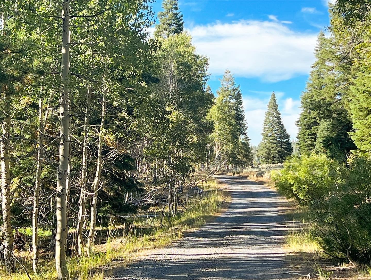
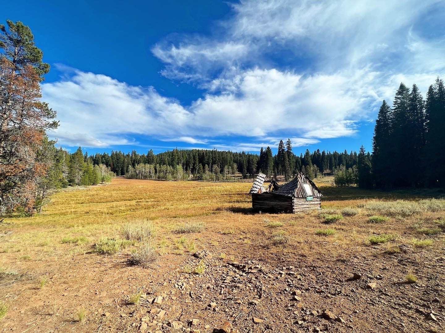
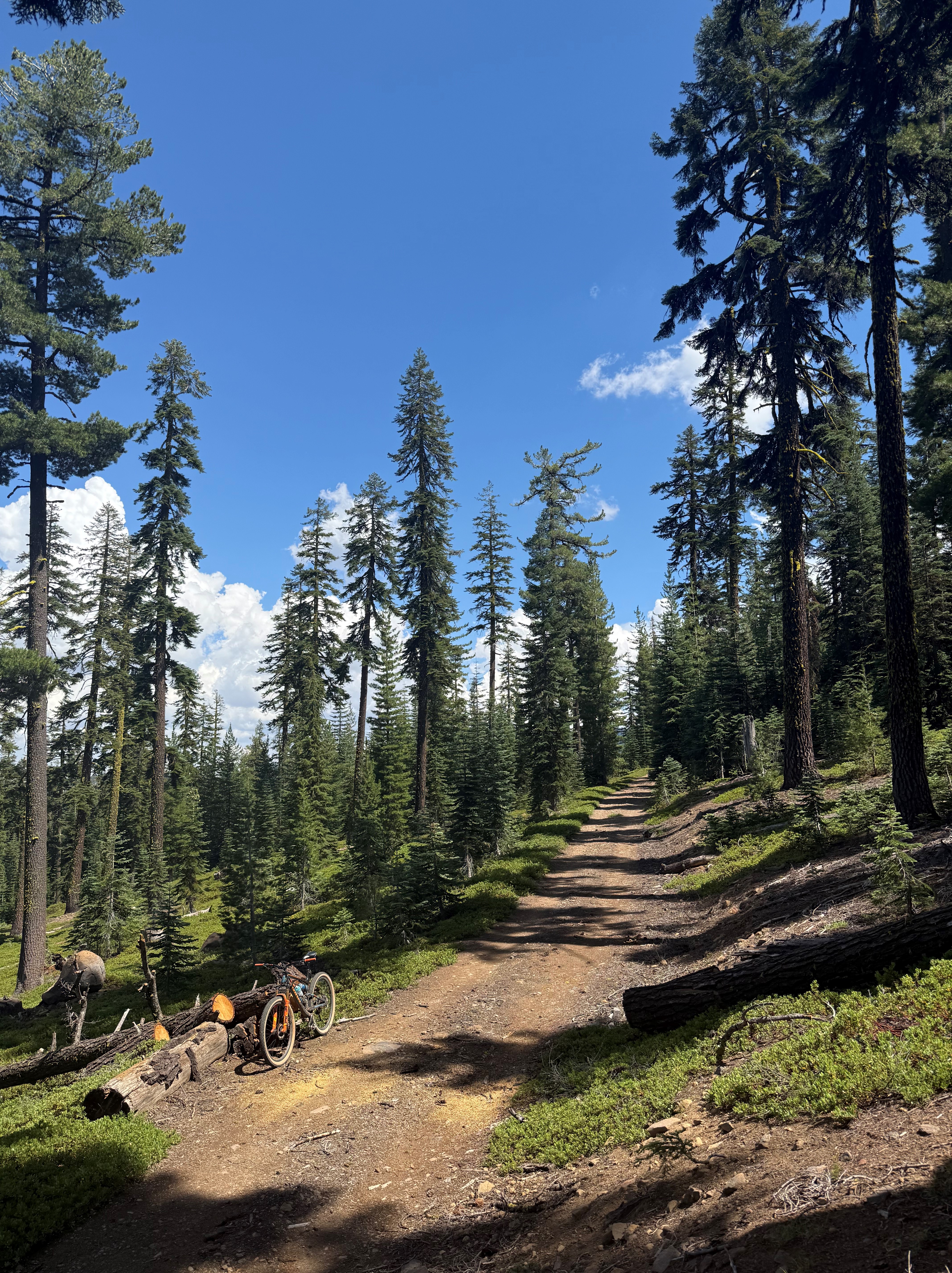
After dropping down to the valley floor, you’ll have to climb back up to the FS roads where you’ll traverse from the shoulders of the mountains past the headwaters of the Little Shasta river. During the ride, the climate will change from the sage and grasses of the valley floor, through the pines of the arid high desert, and into the big firs and aspens of the higher elevation. The ride has lots of small creeks and the previously mentioned Little Shasta river to filter water from and I would highly recommend filtering because cattle is run up here during the summer. There’s a surprising amount of pavement on this ride thanks to the large amount of logs that were pulled out of here in the 70’s and 80’s before the timber industry collapsed. If you ever come across a paved road way up in the woods on Forest Service land, it’s because the timber industry was making enough money to pave the main haul roads for logging.
This route is like most high country routes in that it doesn’t become completely clear of snow until late spring/early summer, but is a great choice well into late fall.
The ride offers two route lengths with the longer one having an extra loop going around the shoulder of Willow Creek mountain before returning back to Juanita Lake. New for 2024 is the super secret shortcut that eliminates the last, three mile climb back to Juanita Lake for both routes. It’s a little more rowdy than last years finishing stretch, but it cuts out the soul crusher that was the last climb back to the lake.
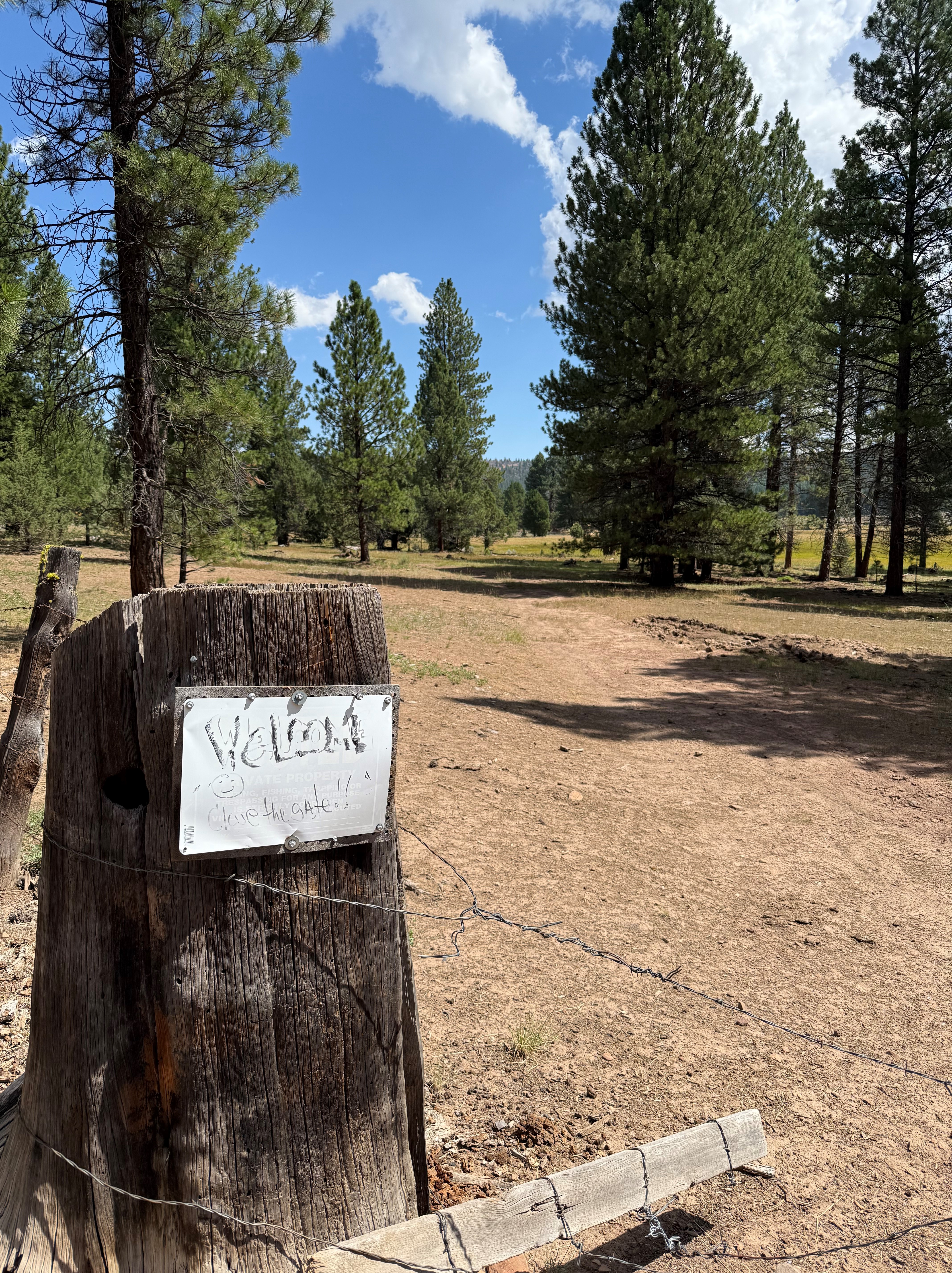
The V2 version of the routes cuts the first big climb out of the Butte Valley in half and spreads the ascent out over rolling hills and railroad grade cinder roads. There are two barb wire gates that you have to go through on this route, so make certain that if they are closed you close them back up after you’ve gone through them.
The new longer route replaces the northern most loop of gravel and its climb back to FS Rd 70 with a climb up to the eastern flank of Willow Creek Mtn and a ripping fast descent back down to FS Rd 70 from almost 7000ft.
As of September 17th, 2024 the last bit that drops down to Juanita Lake isn’t totally clear but it will be shortly. If you’re going down to pre-ride, expect to be stepping over some downed trees and dealing with an old road bed that’s pretty brushy until I can get there to clear it out. *Update* The “road” dropping back down to the lake is open, but is still pretty rough and rugged. I will be going back up in September of 2025 to work on it more to smooth out some of the gnarlier bits, but it is ridable.

Ride With GPS Links
Juanita Lake Honey Badger Short
Juanita Lake Honey Badger Short V2
Juanita Lake Honey Badger Long
Juanita Lake Honey Badger Long V2
Length
Juanita Lake Honey Badger Short 29.7 Miles
Juanita Lake Honey Badger Short V2 40.5 Miles
Juanita Lake Honey Badger Long 50.6 Miles
Juanita Lake Honey Badger Long V2 46.7 Miles
Altitude
Juanita Lake Honey Badger Short 3305ft
Juanita Lake Honey Badger Short V2 3880ft
Juanita Lake Honey Badger Long 4648ft
Juanita Lake Honey Badger Long V2 4545ft