
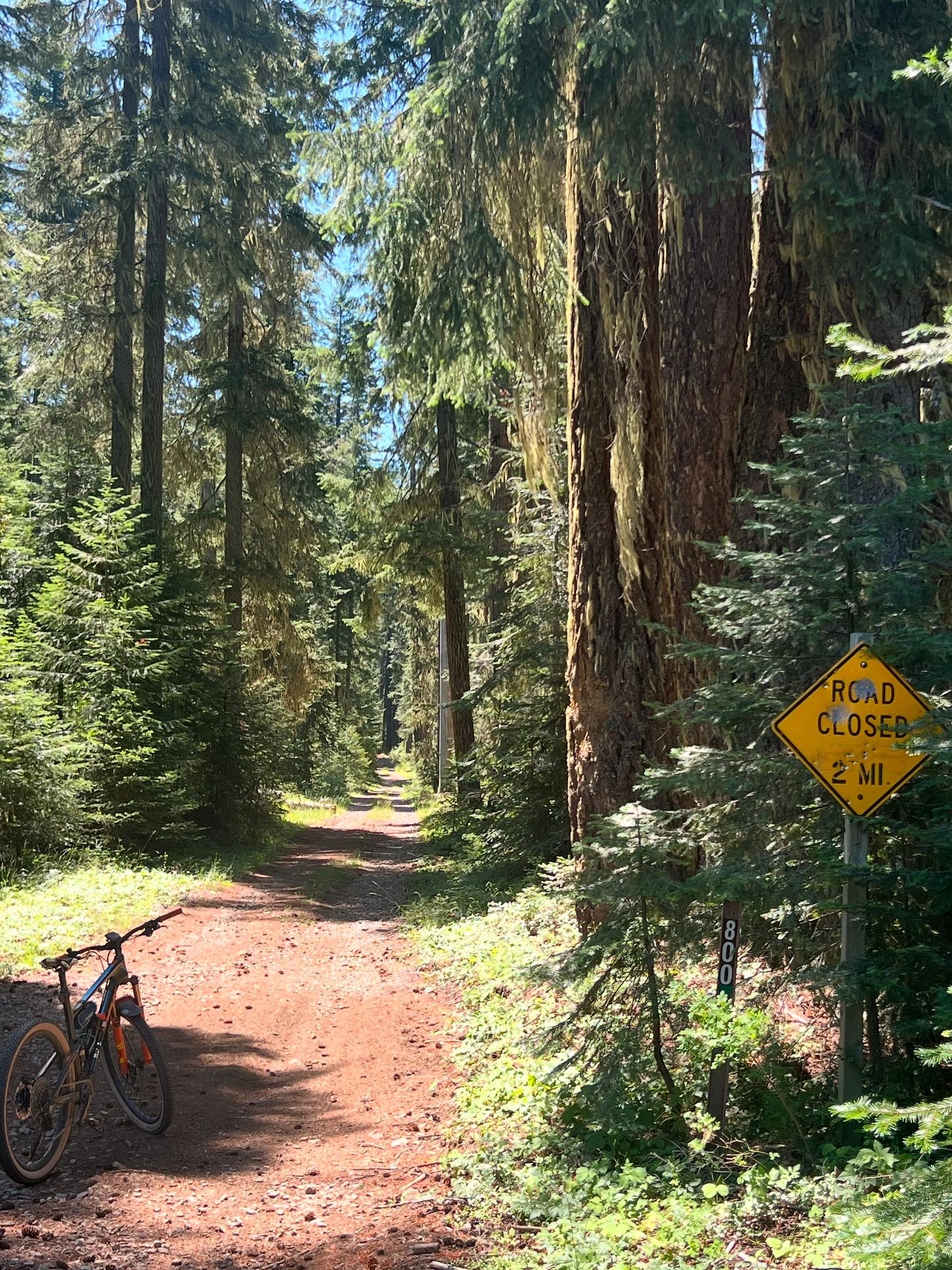
Situated above Butte Falls Prospect Hwy, flanking the western face of Mt. McLaughlin, and crossing the South Fork of the Rogue River is the Lodgepole Honey Badger route. It has probably the most amount of paved sections of any Honey Badger route except for the Montague and Weed routes. Don’t expect to run into much traffic on these roads however. They were paved way back in the day when the timber companies were hauling lots of logs out of the national forest and they don’t see many vehicles. The three seasons where you can expect to come across the occasional car or pickup is during mushroom, huckleberry, and deer rifle season. Other than that it’s pretty quiet.
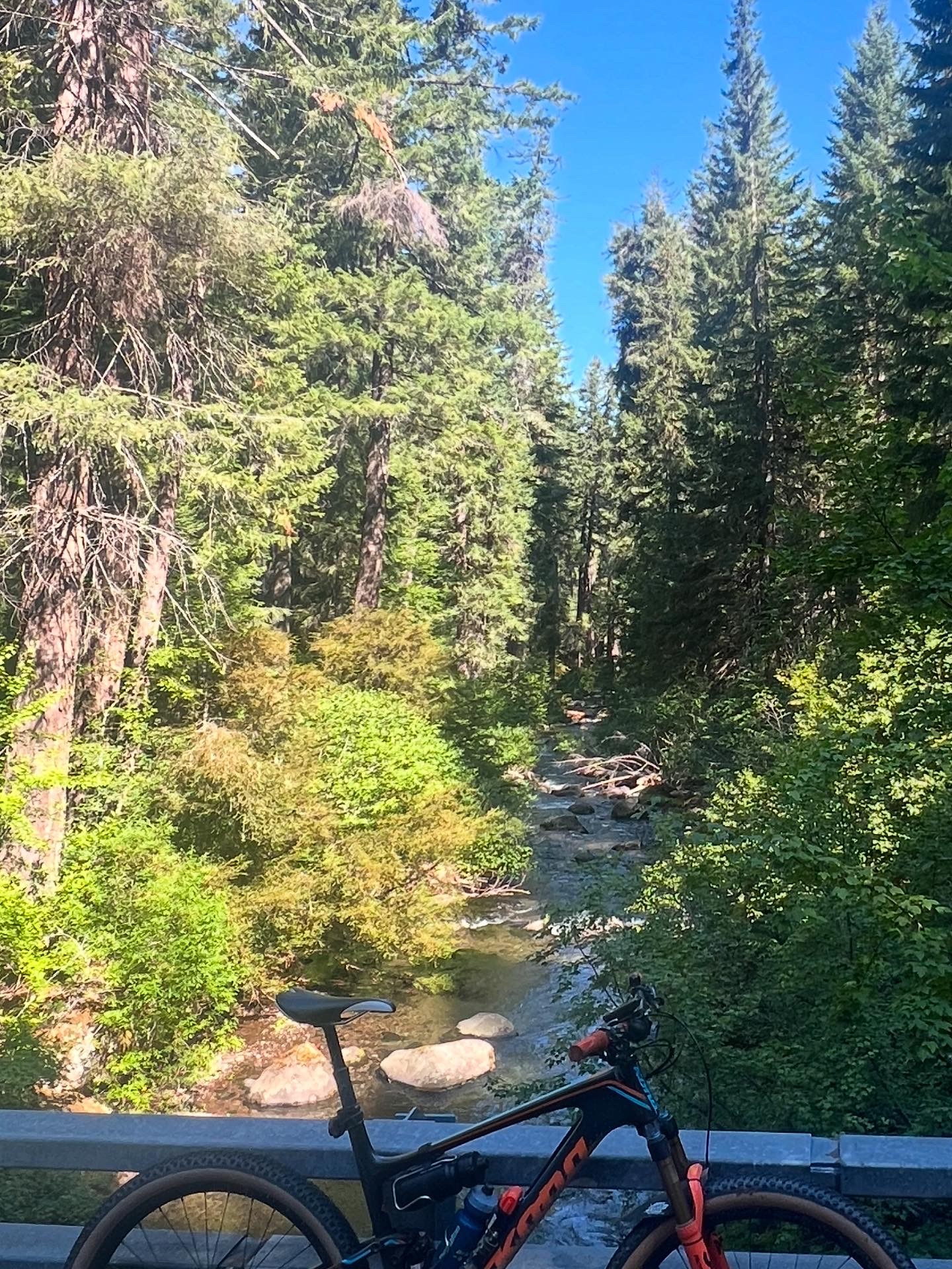
It crosses the South Fork of the Rogue River twice and between that and the countless streams that run year round, there are plenty of spots to filter and refill your water bottles. The route is up high enough to escape the heat of the Rogue Valley in the summer, but is low enough to open up fairly early, depending on how much snow the winter brought. It starts and finishes at just over 3100ft and tops out 4600ft. The climbs are some of the more gentle ones out there. It really reminds me of the Big Elk in terms of gradient. You’ll question yourself lots of times during the ride, thinking there has to be a big nasty climb coming up to make up for all of the long, fast descents, but it never happens. As a gravitationally challenged rider, these are the types of rides I appreciate. Most of the climbs are 2-3% gradient with only a couple of shorter pitches around 4-6%. Add together the altitude, lots of shade throughout the route, multiple places to refill your water, gentle gravel mixed with smooth alpine pavement, and next to zero traffic and you have the combination to be one of my favorite rides.
Ride With GPS Links
Length
Lodgepole Honey Badger 50 Miles
Altitude
Lodgepole Honey Badger 4260ft
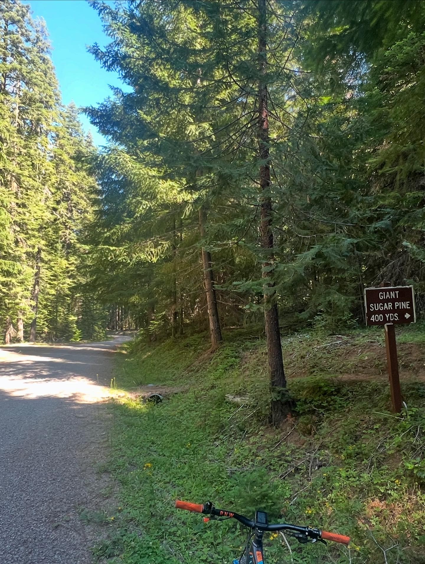

Due to the history of the area, there’s a few places to stop and explore. Just off the road, early in the ride is a massive sugar pine tree that is worth the short walk up the trail to experience. It’s big enough around that a few of you will need to work together to wrap your arms around it. You also roll right past Lodgepole and Imnaha guard stations. Both were built by the CCC in the Depression and were staffed with fire fighters to respond to fires in the woods.
The start/finish of the ride is 15 miles south of Prospect and 8 1/2 miles north of Butte Falls on Butte Falls Prospect Rd. There’s a decent sized gravel parking area on the west side of the road across from the beginning of the climb. Click here to go to the Google location and plug that into your GPS for the best route to get there.
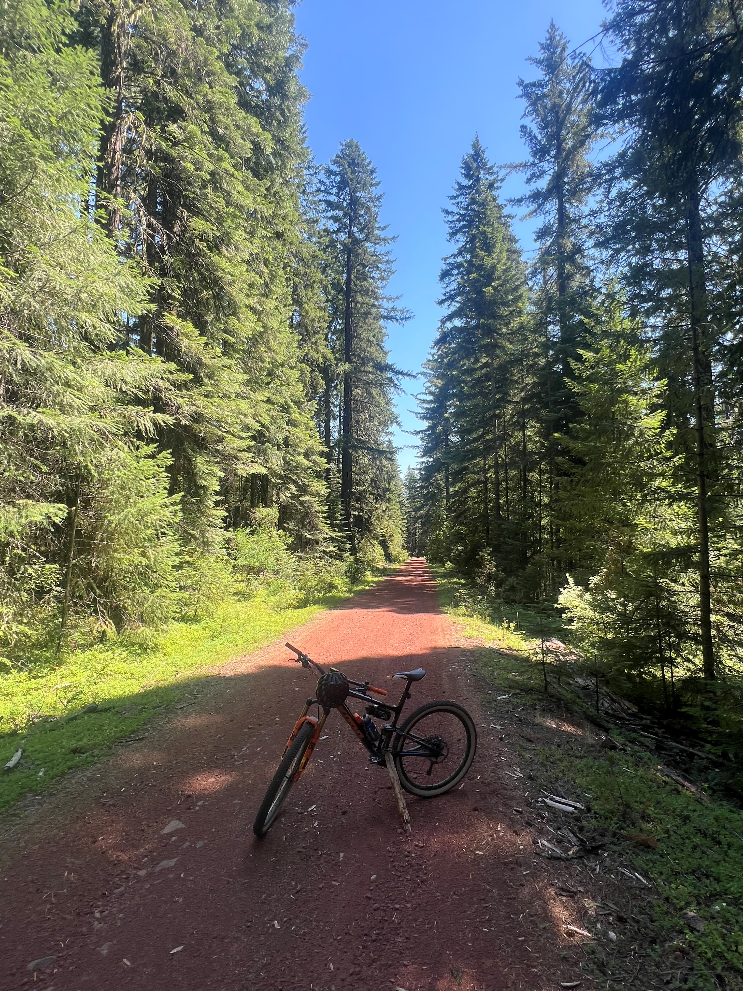
I’d recommend a classic gravel bike for the route. 40mm tires are just about perfect but if you want to go bigger thane feel free. You’ll notice that the bike in the pictures is my mountain bike. When I rode the route, gravel bike was in the shop and I had no issues what so ever on my mtb. Even though there’s a fair mount of pavement and much of the gravel is fairly smooth, it’s still in a national forest on logging roads and isn’t’ champagne gravel that would allow the use of wide slicks on your road bike. Take two full bottle and and if you’re smart a small filter to refresh your supplies with cold water right out of the Rogue River.
