It’s always sunny in the Applegate! That’s a saying locals around here have of the beautiful climate and scenery of the Applegate Valley. It’s pretty amazing how an area so green and beautiful is usually blessed with good weather. When the Rogue Valley is having one of it’s famous foggy periods, the Applegate is the place to go. These routes link the Little Applegate and the Applegate drainages. Take an extra water bottle or a hydration pack as there isn’t any water to draw and filter from on the last half of the rides and in the summer it can be warm. There’s a fair amount of pavement on these rides so pay attention for vehicles when you’re on the blacktop.
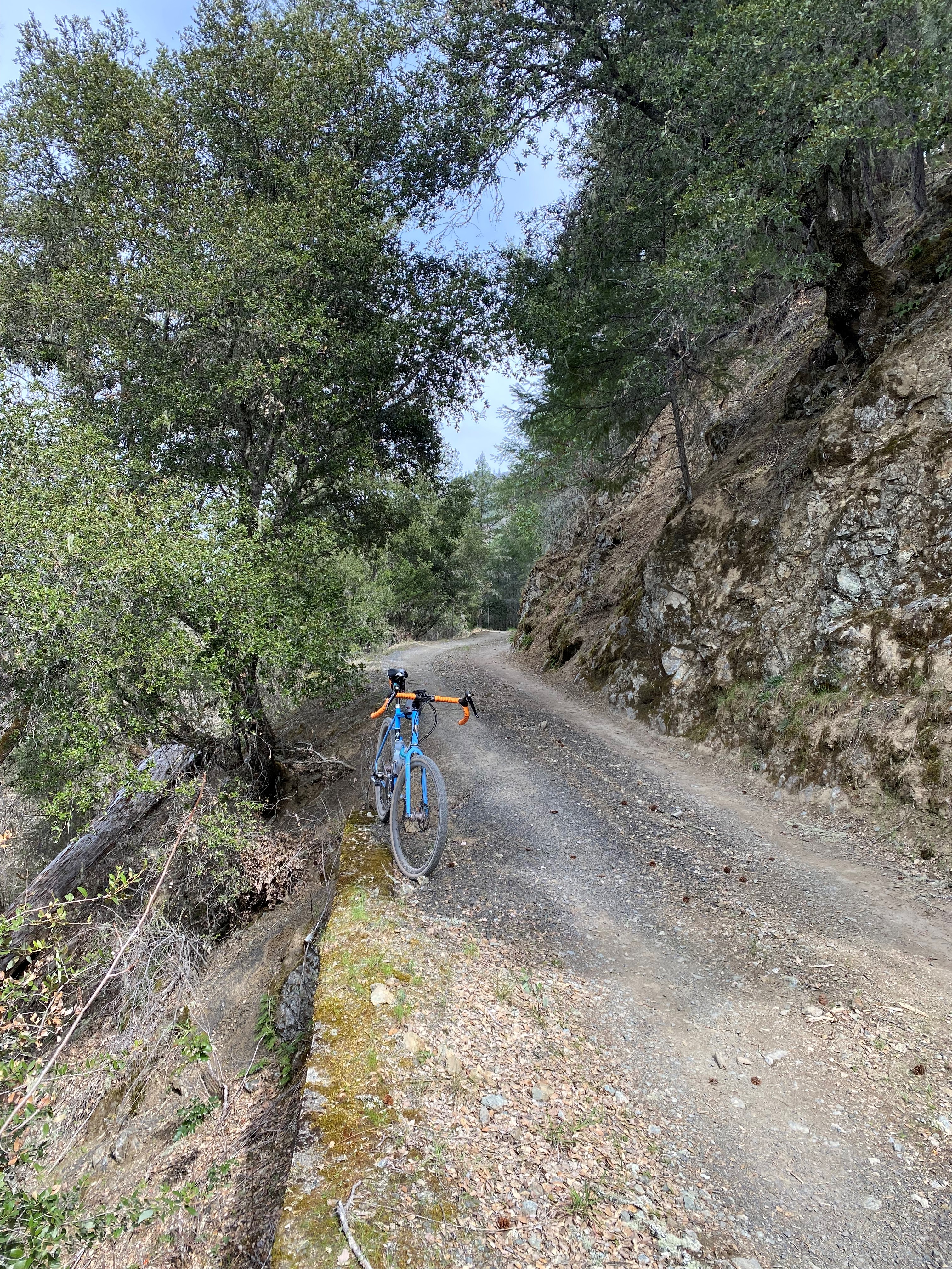
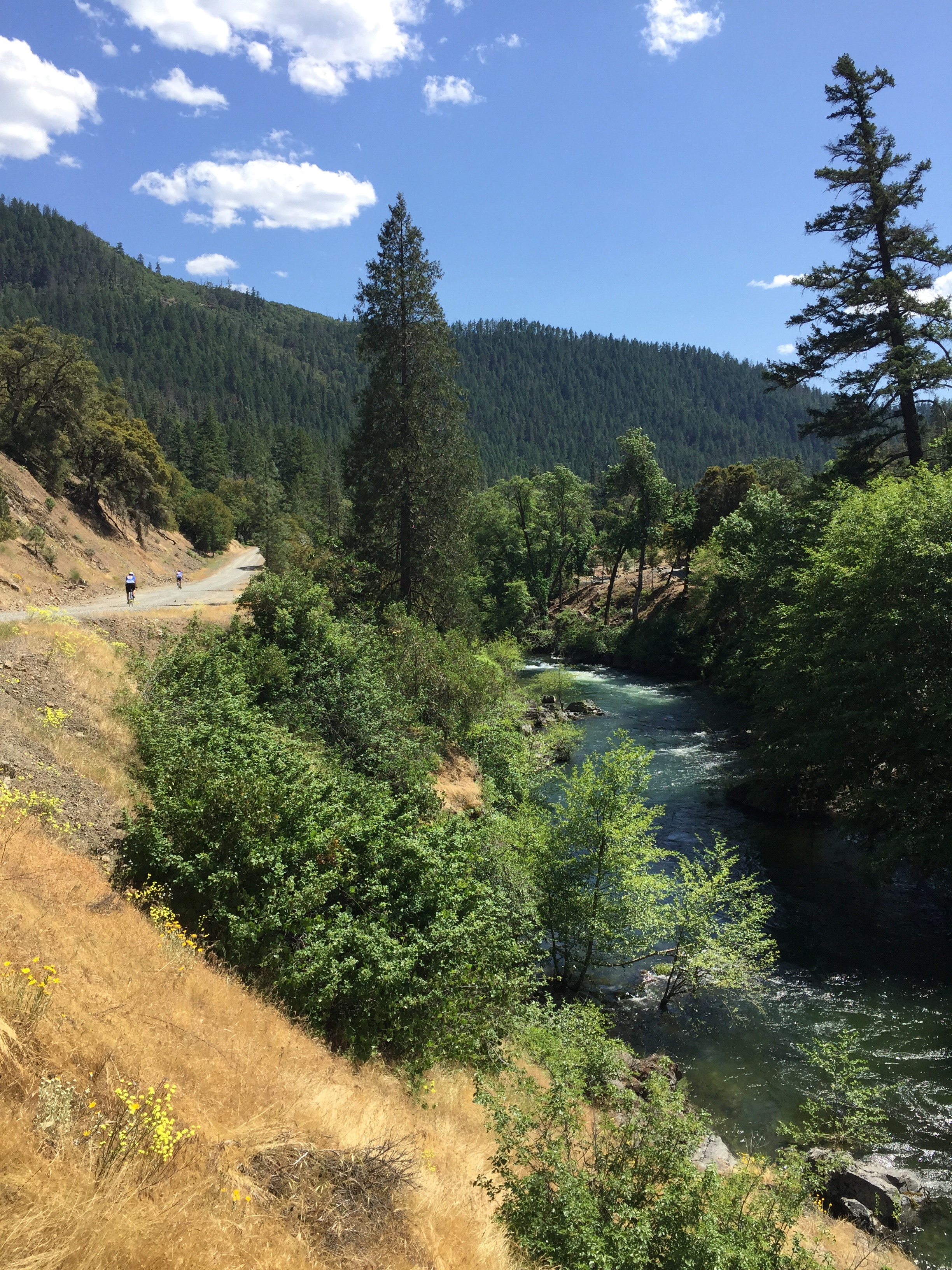
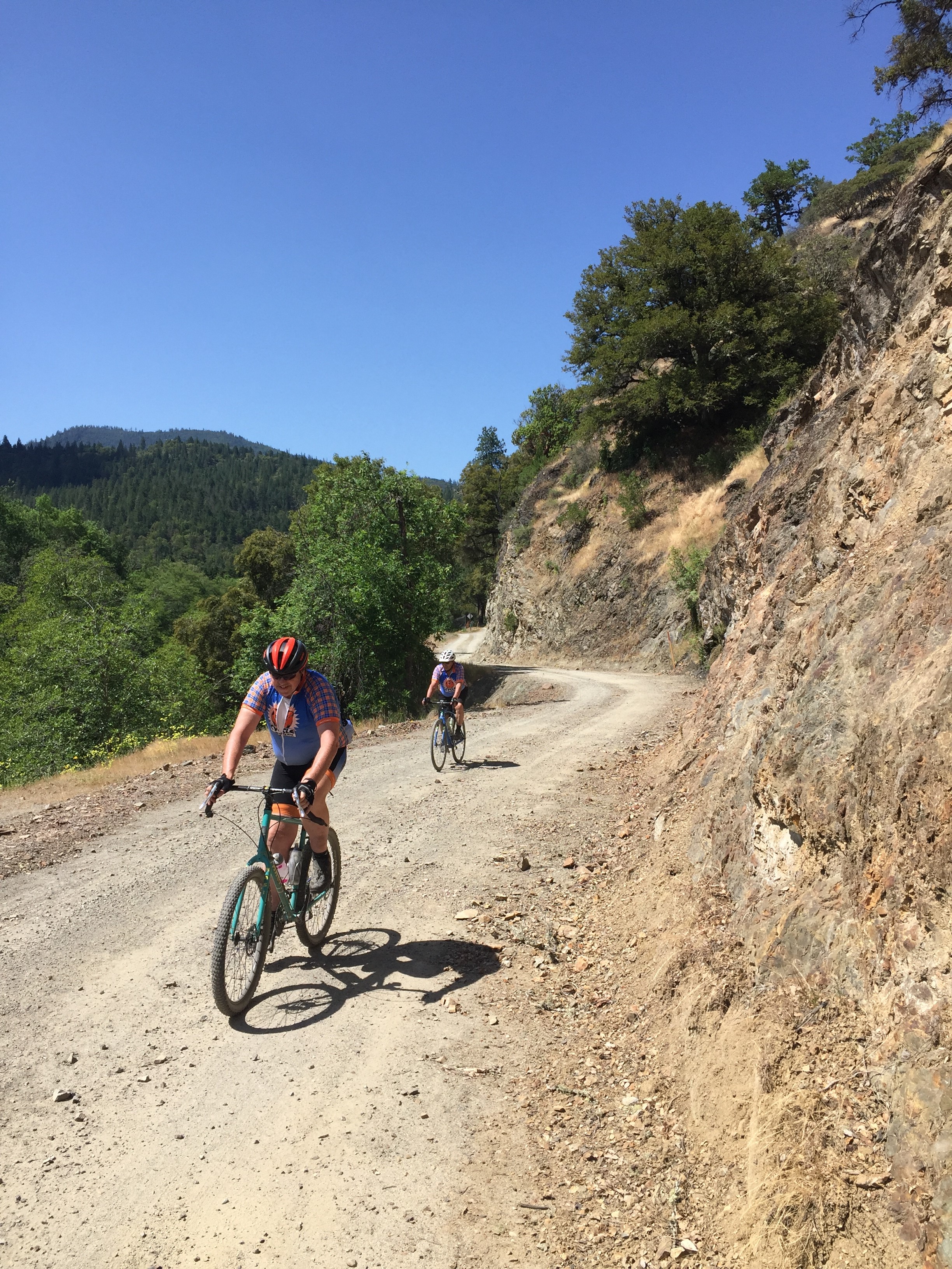
Starting and finishing at the covered bridge at McKee Bridge, these routes follow the Applegate river on Eastside Rd. Eastside Rd is a narrow gravel road for a bit with a great view straight down to the Applegate river. It eventually widens out and then turn to pavement before meeting up with Upper Applegate Rd at the 2.5 mile mark. You’ll ride north on Upper Applegate Rd for about 3.5 miles before turning east onto Little Applegate Rd. The next 6 miles is on gently rolling pavement to the end of the asphalt where you turn back onto gravel with a right turn onto Yale Cr Rd. About three mile later the road fork and you’ll stay to the right onto Waters Gulch Rd and the climbing begins. For the next 2.5 miles, you’ll climb up a mostly shaded and smooth dirt road to the summit. It averages about 6.4% but there’s some short, steep grunty bits thrown in to keep you honest.
At the summit the longer Rough and Tumble route option will peel off onto the right onto Cinabarr Rd and keep climbing. If you want to cut it short and do the Short and Smooth route, this is where you continue straight and start the descending back to the finish. The first mile is a gentle gravel descent to the intersection of Beaver Cr Rd (FS Rd 20). At the junction, hang a right and drop the next 5.5 miles of sweeping pavement back to Upper Applegate Rd. Word of caution, while it’s paved, it’s some rough and vintage Forest Service pavement, built long ago to serve logging trucks hauling timber back to the mills. Your gravel bike or endurance road bike with fat road tires will be much appreciated. At the bottom hang a right and head upstream on Upper Applegate Rd for less than 1/4 mile before you turn back onto Eastside Rd and head back over the covered bridge to your car.
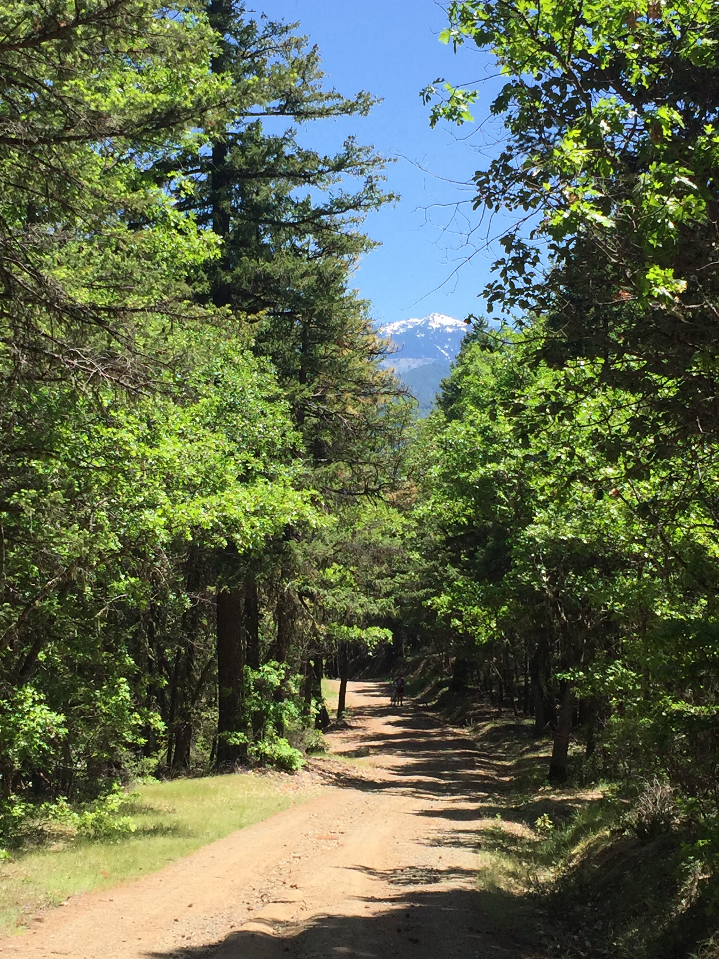
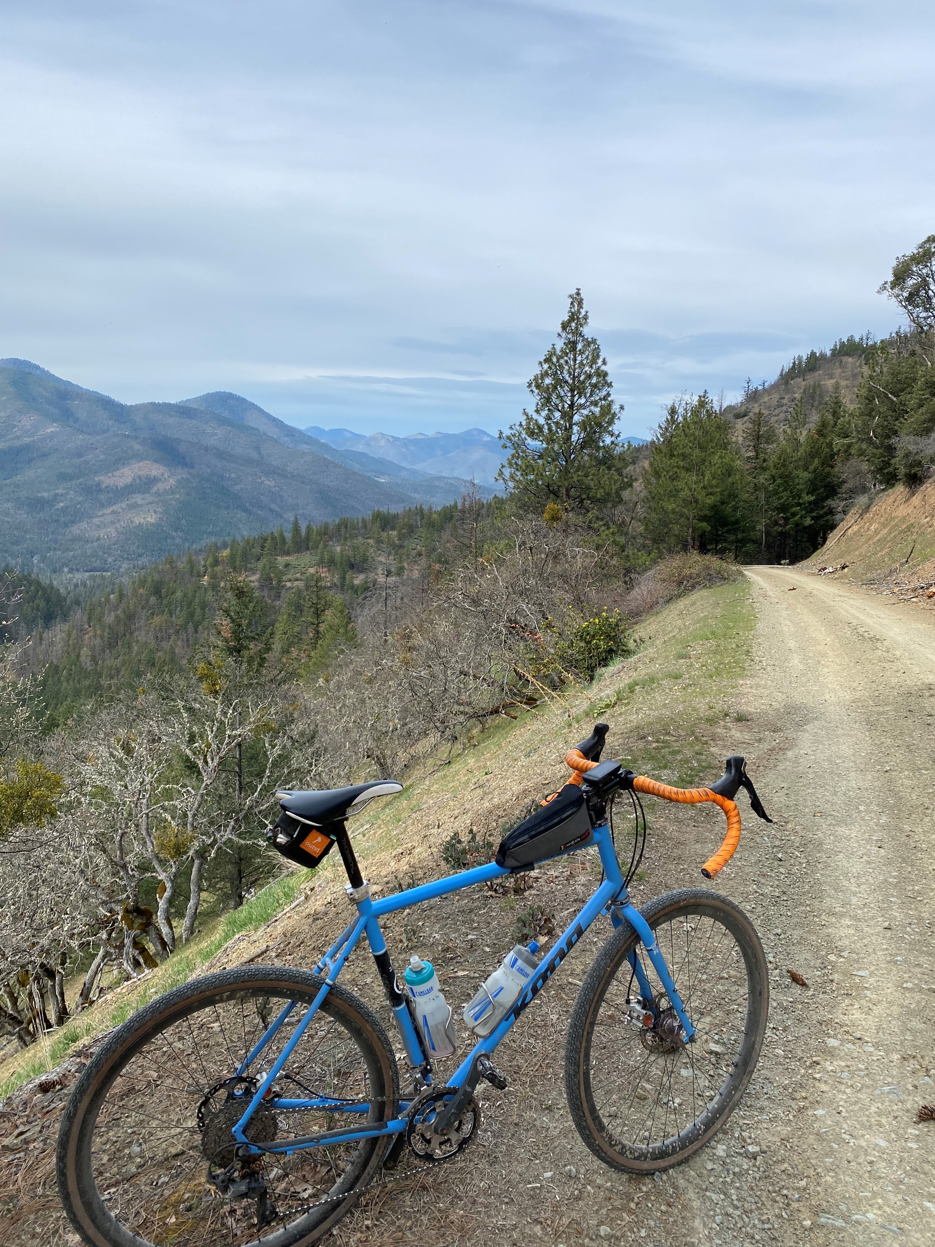
If you’re committed to the longer Rough and Tumble route, take a right onto Cinabarr Rd at the 16ish mile mark. This is the part of the ride where if you choose a more road oriented bike for all the pavement, you’ll be wishing you went for the bigger tires and wider range gears. It starts out with some short and steep climbs that are loose and rutted. After you reach the ridgeline and levels out, the terrain starts to get rockier and rockier. These are some older BLM logging roads that haven’t seen a grader in quite a while
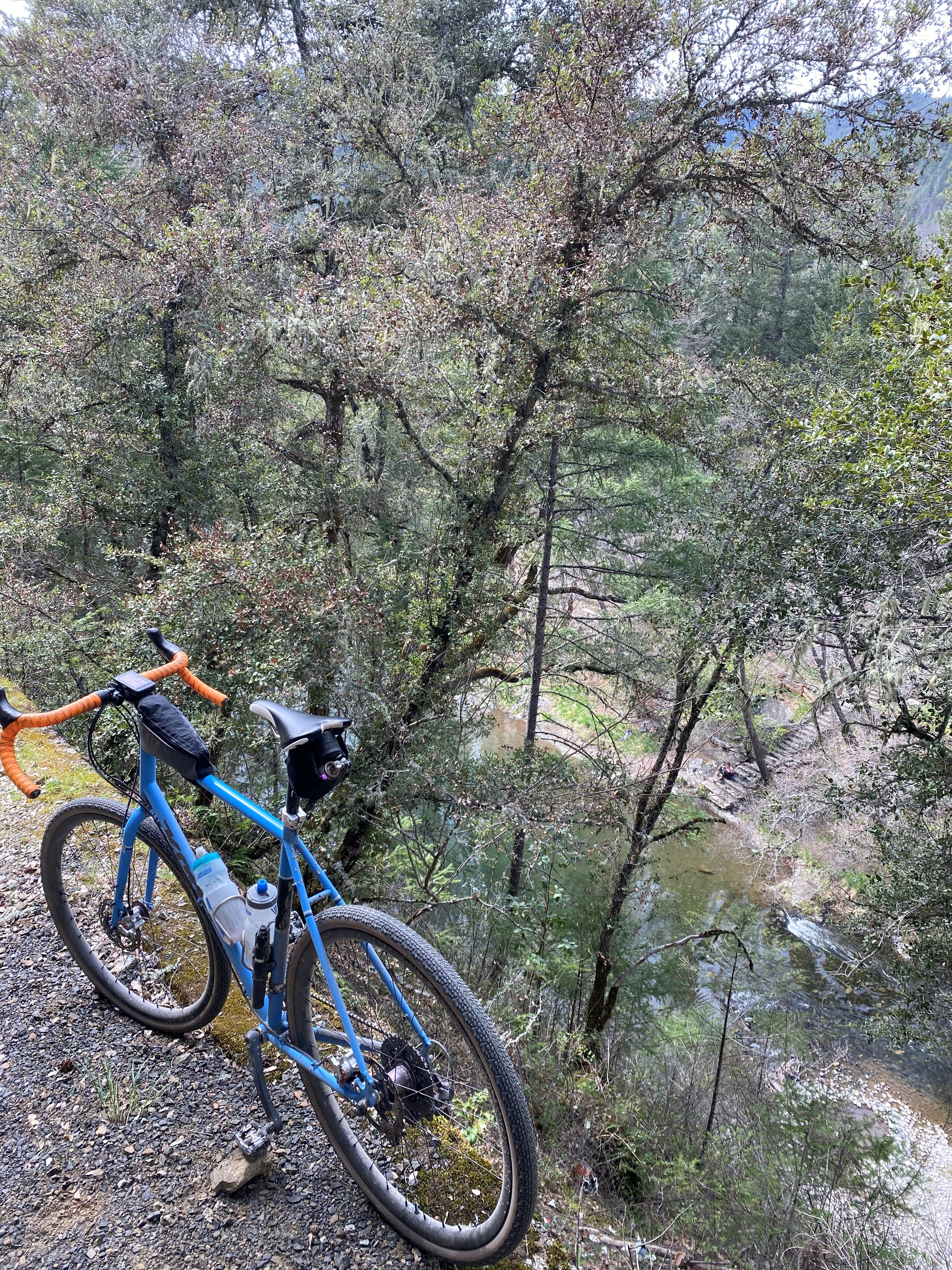
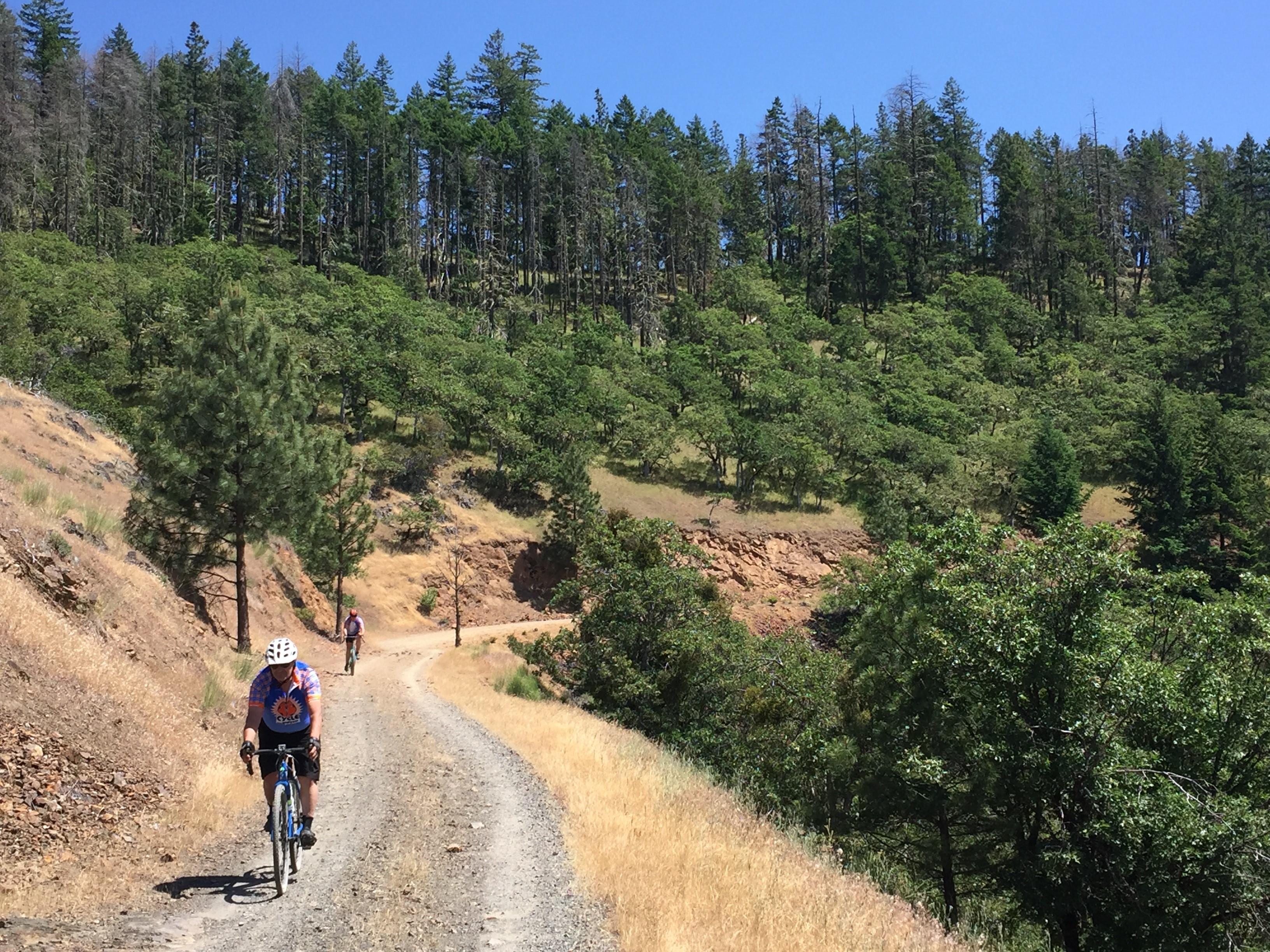
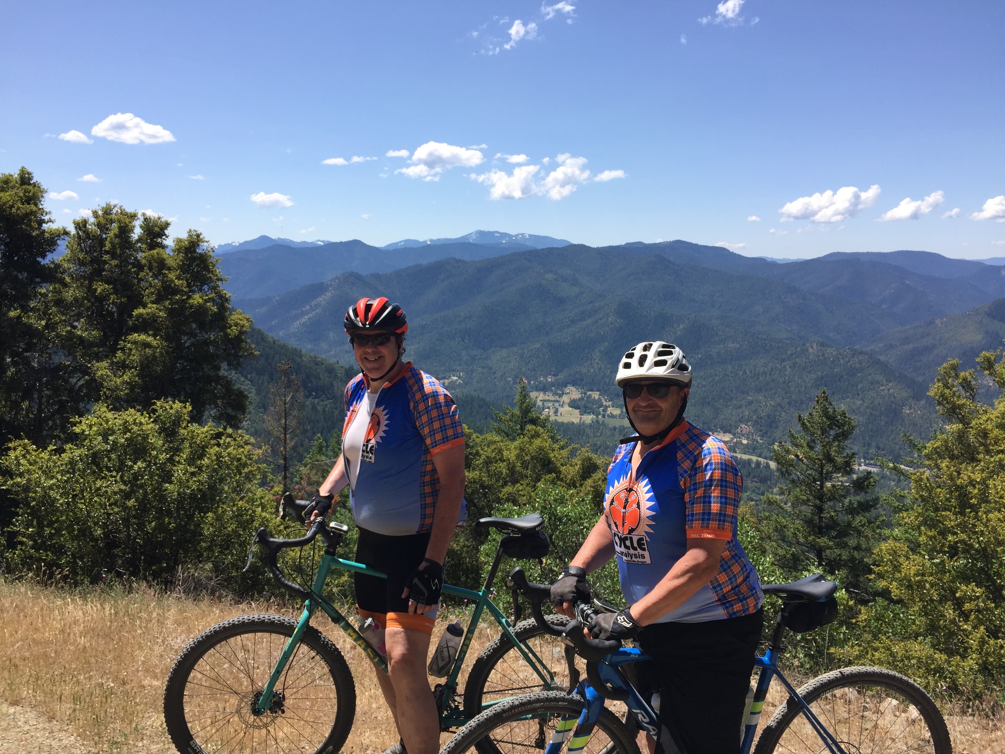
The last descent is a rough and tumble trip down a logging road to the covered bridge of historic McKee Bridge. It’s a good 6 miles longs is where the ride gets it rough an tumble moniker. The wider the tire, the better. In fact, a mountain bike would be the most comfortable. Like in the old days of mountain biking before suspension, it’s one of those descents where you would stop a few times and shake the hands out. It has some amazing views of the Applegate and Little Applegate valley so take advantage of the vistas and stop to eat a snack and take a picture or two.
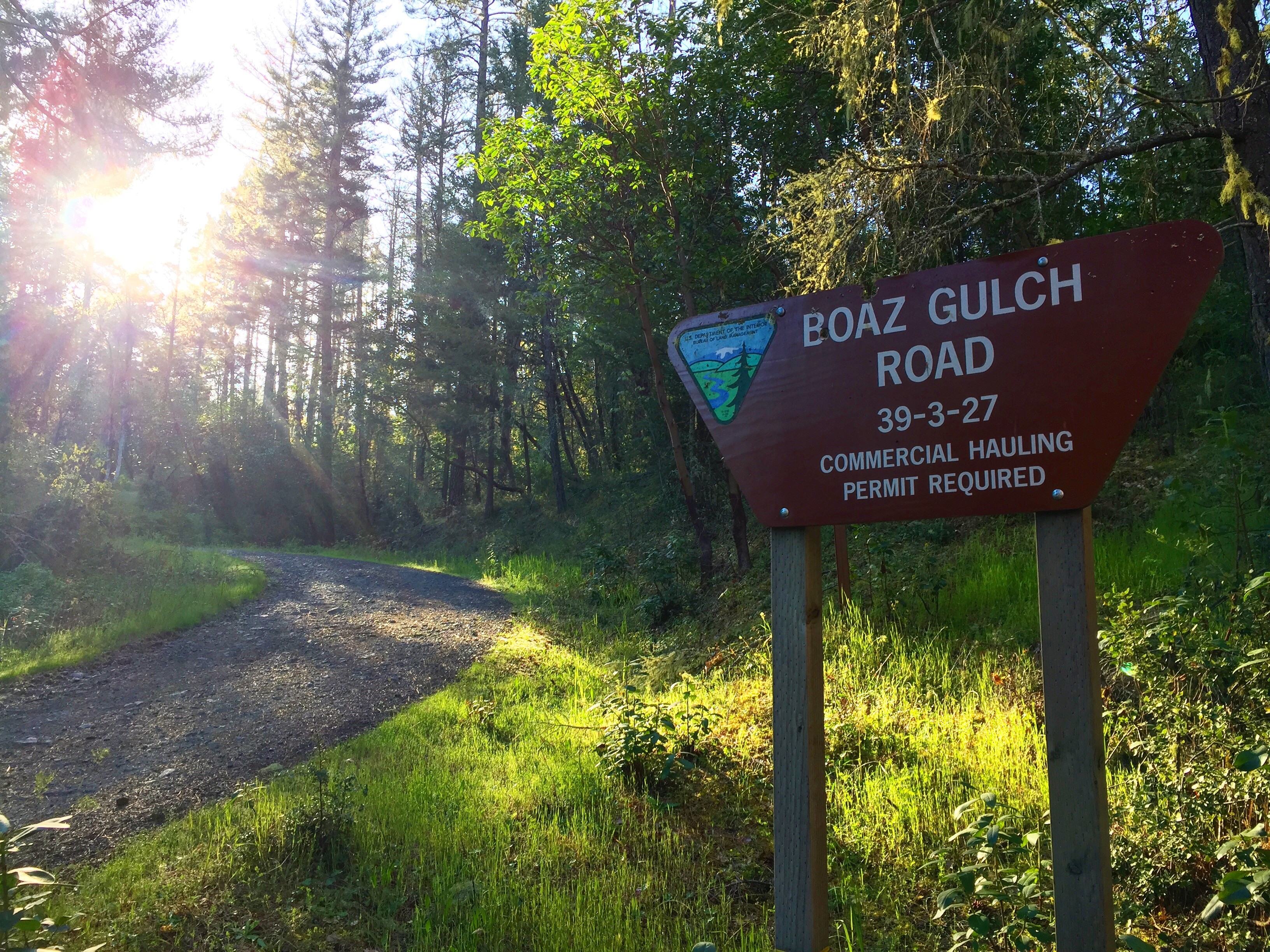
After the descent you’ll hit Eastside Rd again and hang a left back to the covered bridge and the park. In days past, you could grab a bite and a drink from the now closed store and restaurant. Now, a wise person packs a snack to grab a bite in the park next to the river and take in the view of the bridge before they return home.
A reminder that Upper Applegate and Little Applegate Rd are public roads with cars and trucks that will be on them. Please ride single file and to the right on those sections. There’s not a ton of traffic, but the roads are pretty curvy and vehicles can come up on you pretty quickly.
Ride With GPS Links
Distance
McKee Bridge Short and Smooth 23.2 Miles
McKee Bridge Rough and Rugged 29.2 Miles
Altitude
McKee Bridge Short and Smooth 1728ft
McKee Bridge Rough and Rugged 2992ft