Two route options, although only one actually goes over Scarface Mtn. Both the Scarface Honey Badger and the shorter version, the Greenhorn Honey Badger start and finish in Greenhorn Park in Yreka.
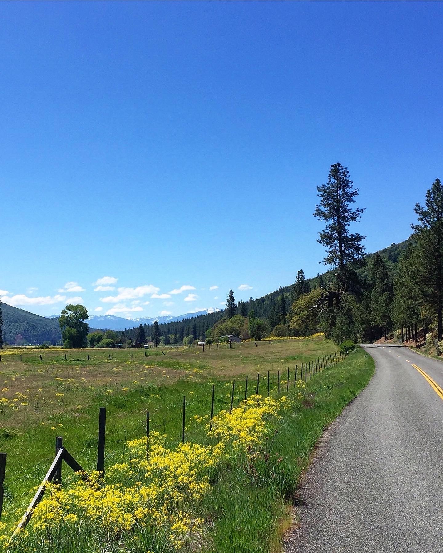
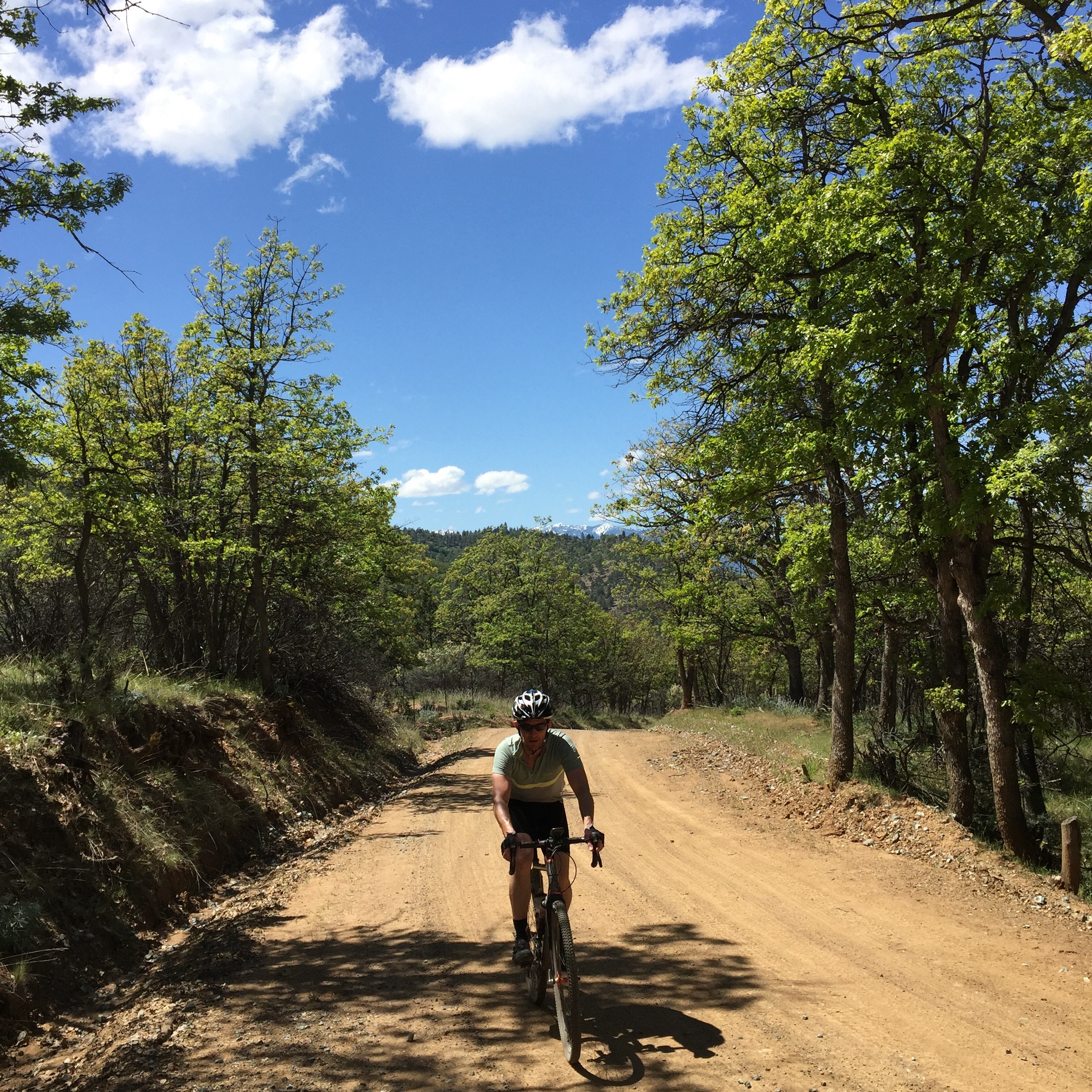
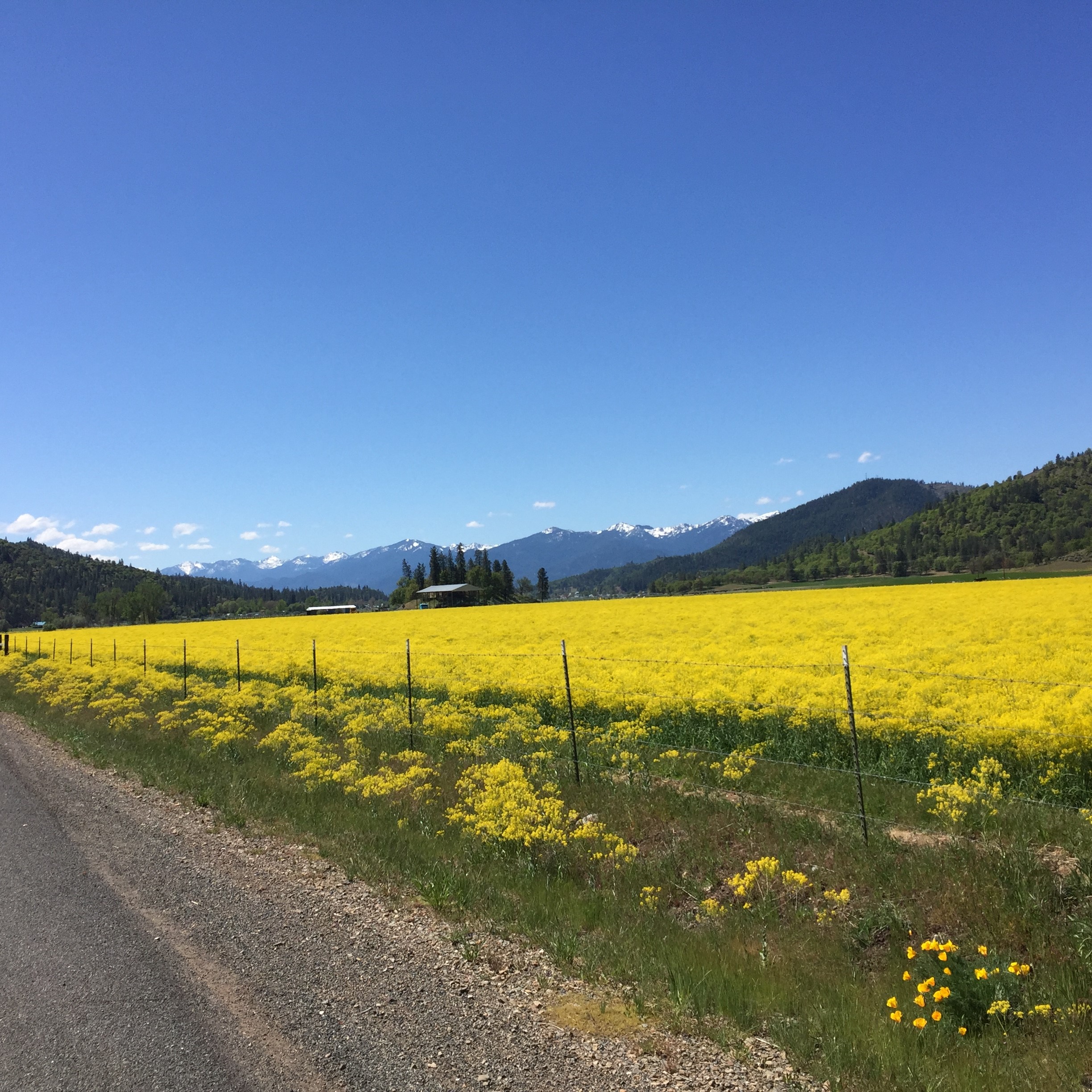
The longer Scarface route and the shorter Greenhorn route cross from the Shasta Valley into the Scott Valley and then back. They have amazing views of Mt Shasta, the Trinity Alps, and the Marble Mountains. Bring your climbing legs as once you’ve crossed over into Ft Jones and the Scott Valley, there’s no way back to the start without climbing up and over McAdam Rd.
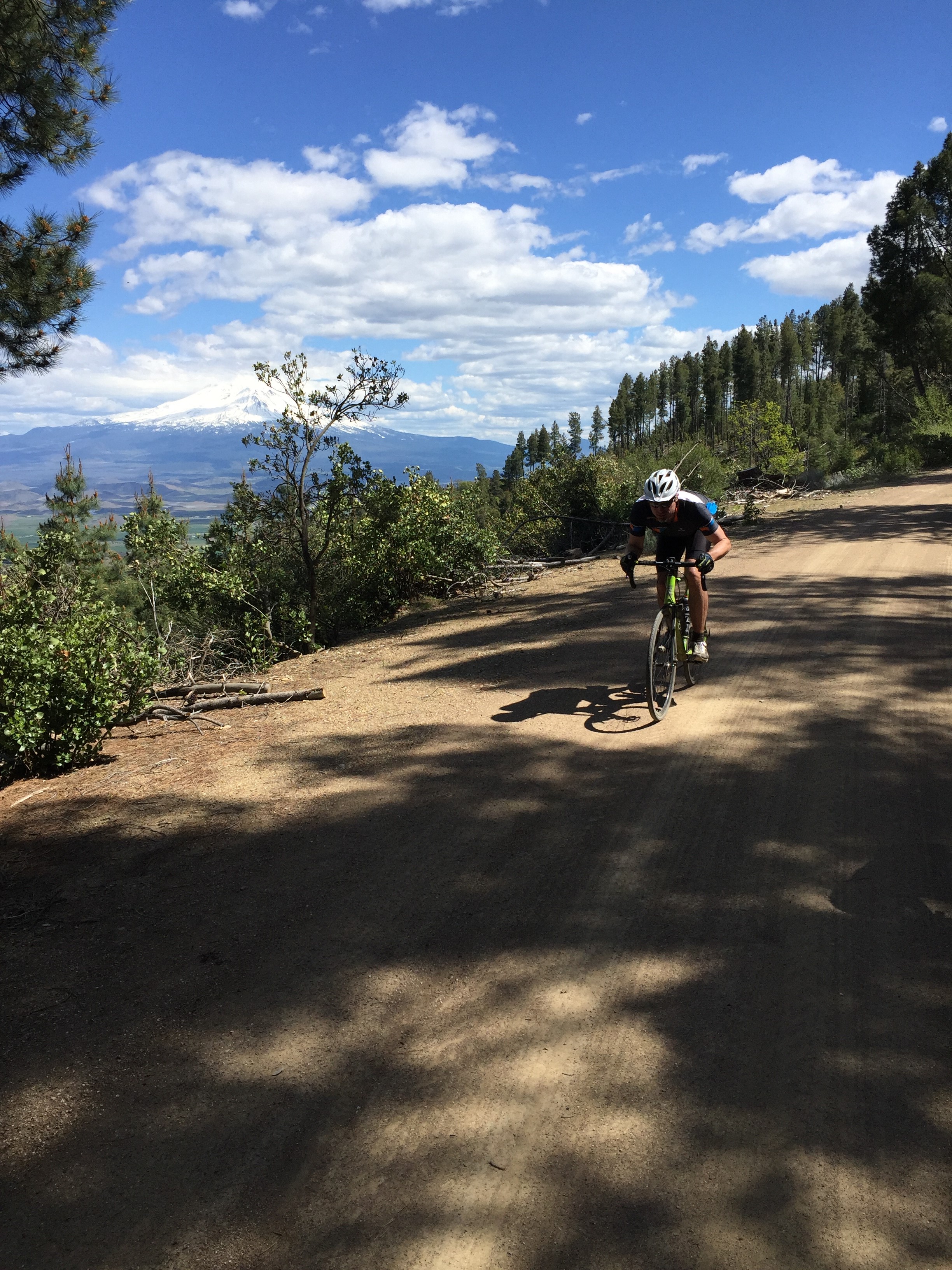
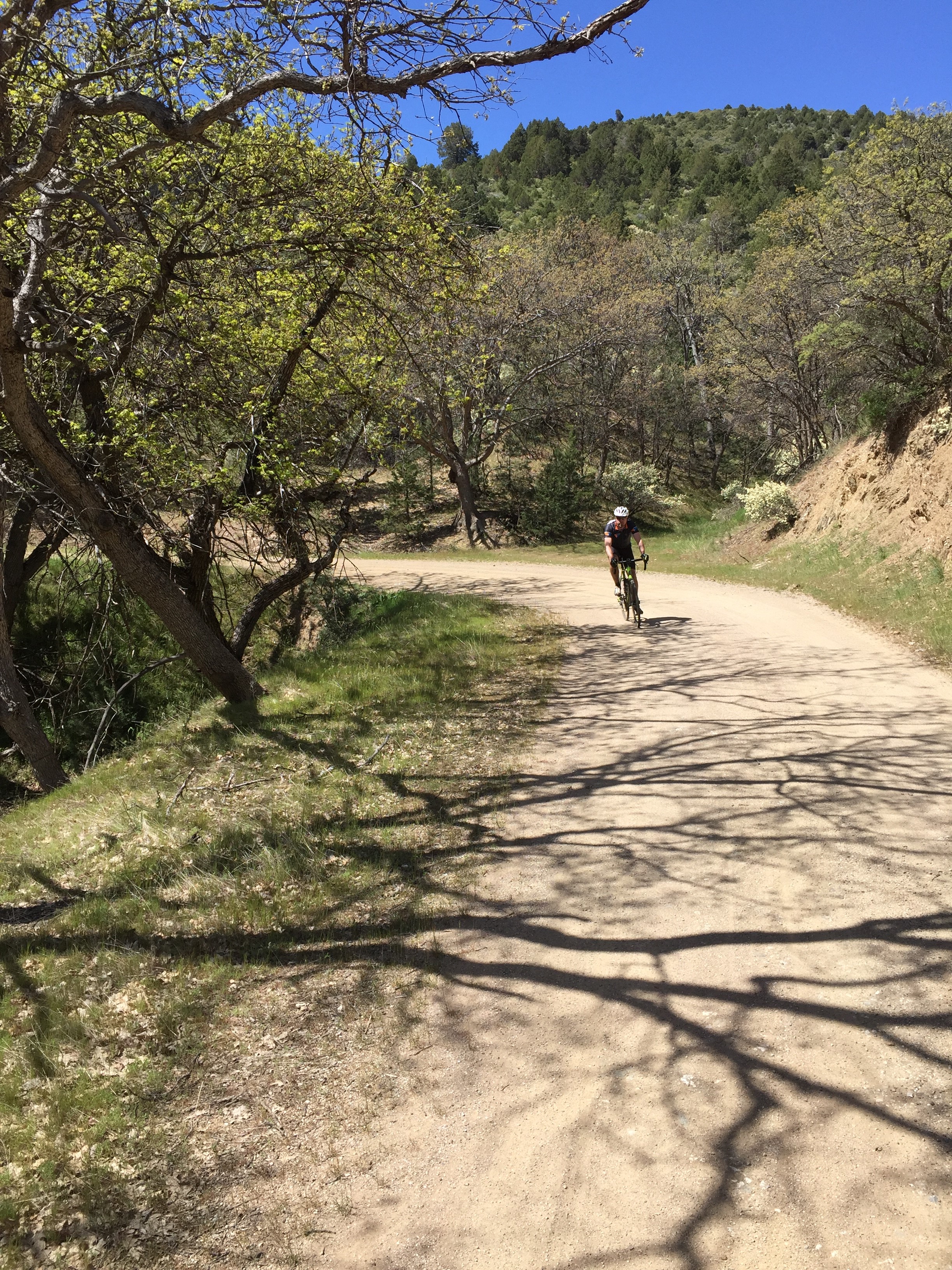
The roads down in Siskiyou County are mostly car free, with the exception being in the town of Yreka. That’s about 1% of the ride time. After that, you’re as likely to run into farm equipment and quads moving cattle as you are multiple cars. The gravel is mostly decomposed granite that rolls smooth and fast, but as the weather gets warmer the tractions gets a bit skittery and washboard starts to set in.
These rides are definitely better choices for spring and fall because the temps are a bit warm in the dead of summer and there’s no water available along the routes. The Scarface route at least has the option to buy supplies in the Chevron or the Rays in Ft Jones.
The Scarface route is great in both directions. I like to see which way the wind is blowing in the Shasta Valley and use it to assist me in either leave or come back into Yreka via the Easy St/Cram Gulch part of the course.
The Greenhorn route is similar to the longer Scarface route. Both start and finish in Greenhorn Park in Yreka. This route crosses from the Shasta Valley into the Scott Valley and then back, but never goes up and over Scarface Mtn. It’s an modified out and back that sends you up Greenhorn Rd to McAdams Rd and back.
Ride With GPS Links
Distance
Scarface Honey Badger 63.6 Miles
Greenhorn Fools Gold Honey Badger 39.1 Miles
Altitude
Scarface Honey Badger 6525ft
Greenhorn Fools Gold Honey Badger 4398ft