A little tour of the Rogue-Umpqua drainages in the most northern (so far) of the Honey Badger routes. Much like the Juanita Lake ride, this is close to the Rogue Valley geographically, but can take a little while to get to. It is worth the drive time. This is a classic Honey Badger ride when it comes to bike and tire choices. There’s enough pavement that if you’re planning on speed and efficiency that you might consider smaller, smoother tires like a 35c. Then there’s also enough logging roads with bigger rocks, rain ruts, and steeper pitches that a mountain bike sounds like a good idea. Back in the day this would have prompted the evergreen question of “What bike should I take?” followed with the response, Honey Badger don’t’ care!” Thankfully the bike industry figured out the gravel market and a good gravel bike with wide range of gears and 40-45c tires will do the trick nicely.
To get to the ride, take the Rogue River exit on I5 (Exit 48) and head through town onto East Evans Cr Rd. Follow it for about 7.5 mile into Wimer and turn right at the stop sign to stay on East Evans Creek Rd. just over 11 miles after Wimer, turn left onto West Fork Evans Creek Rd and go 8 miles to the Start/Finish spot. It’s a gravel parking area across the creek from the road.
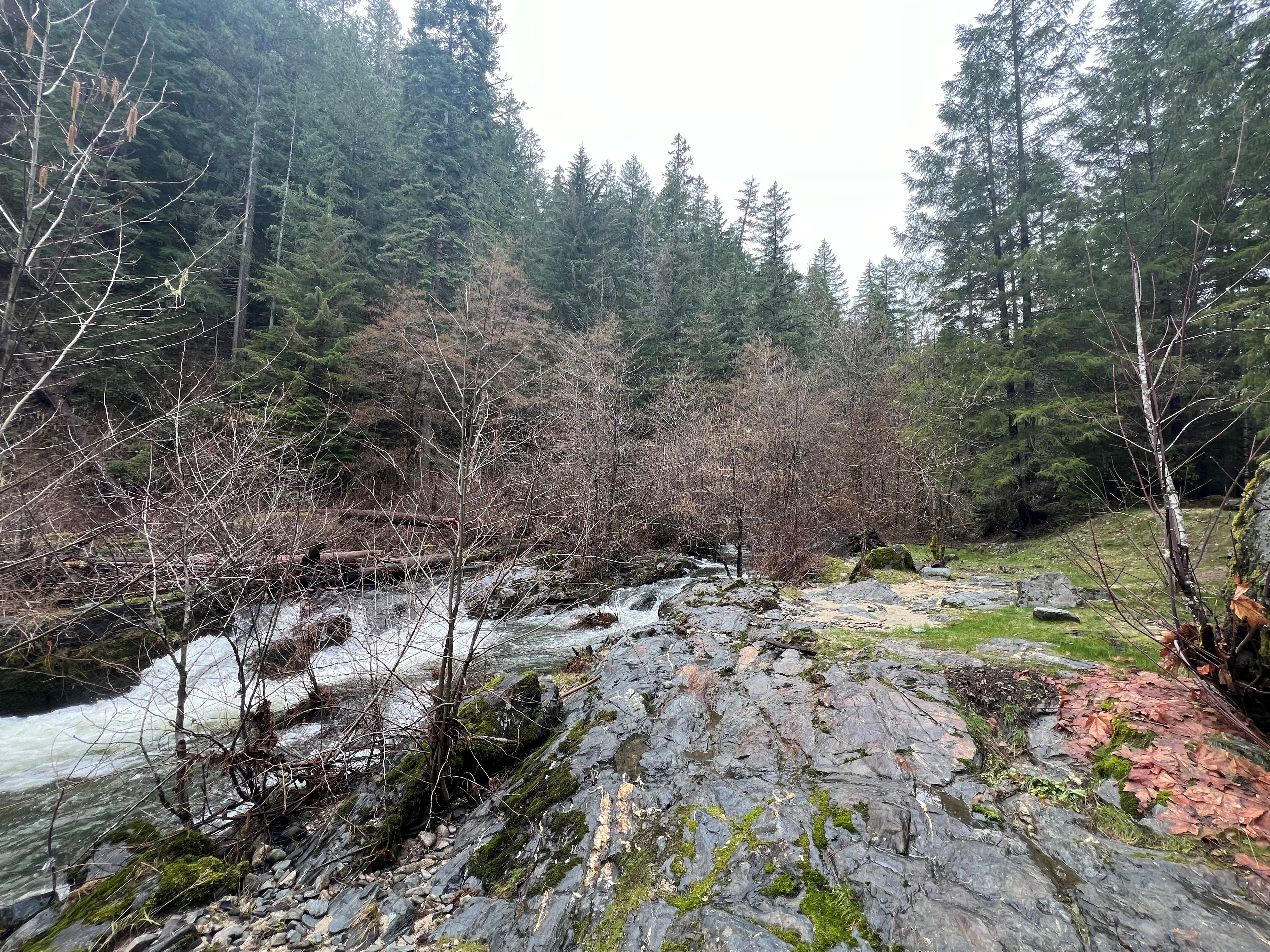
There’s plenty of water along the route if you bring a filter. The elevation on the ride tops out at just over 3000ft so this route is a good choice in the early season as long as the snow level isn’t really low. There’s no stores along the route, so take plenty of snacks and fuel with you
This is the newest Honey Badger route, so right now there’s not many pictures, but as soon as I get some more, I’ll add them to the page.
Ride With GPS Links
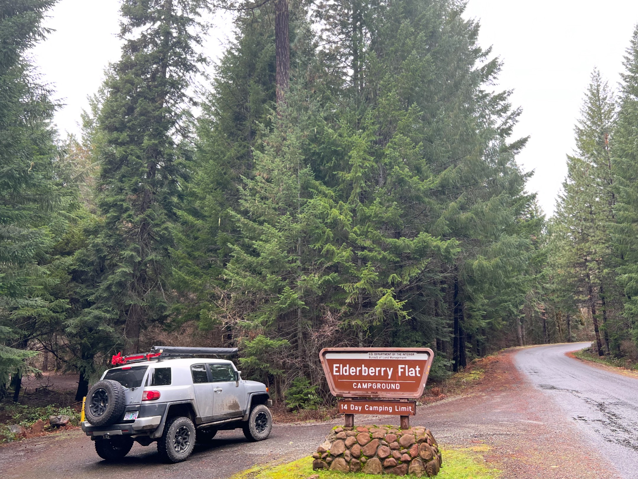
Elderberry Flats (Formerly Wimer) Honey Badger
Length
Elderberry Flats (Formerly Wimer) Honey Badger 41.9 Miles
Altitude
Elderberry Flats (Formerly Wimer) Honey Badger 4236ft.